Alpsolut srl has developed several methods of processing satellite images with the aim of improving snow maps, automatically detecting avalanche events and forest areas (spatial application).
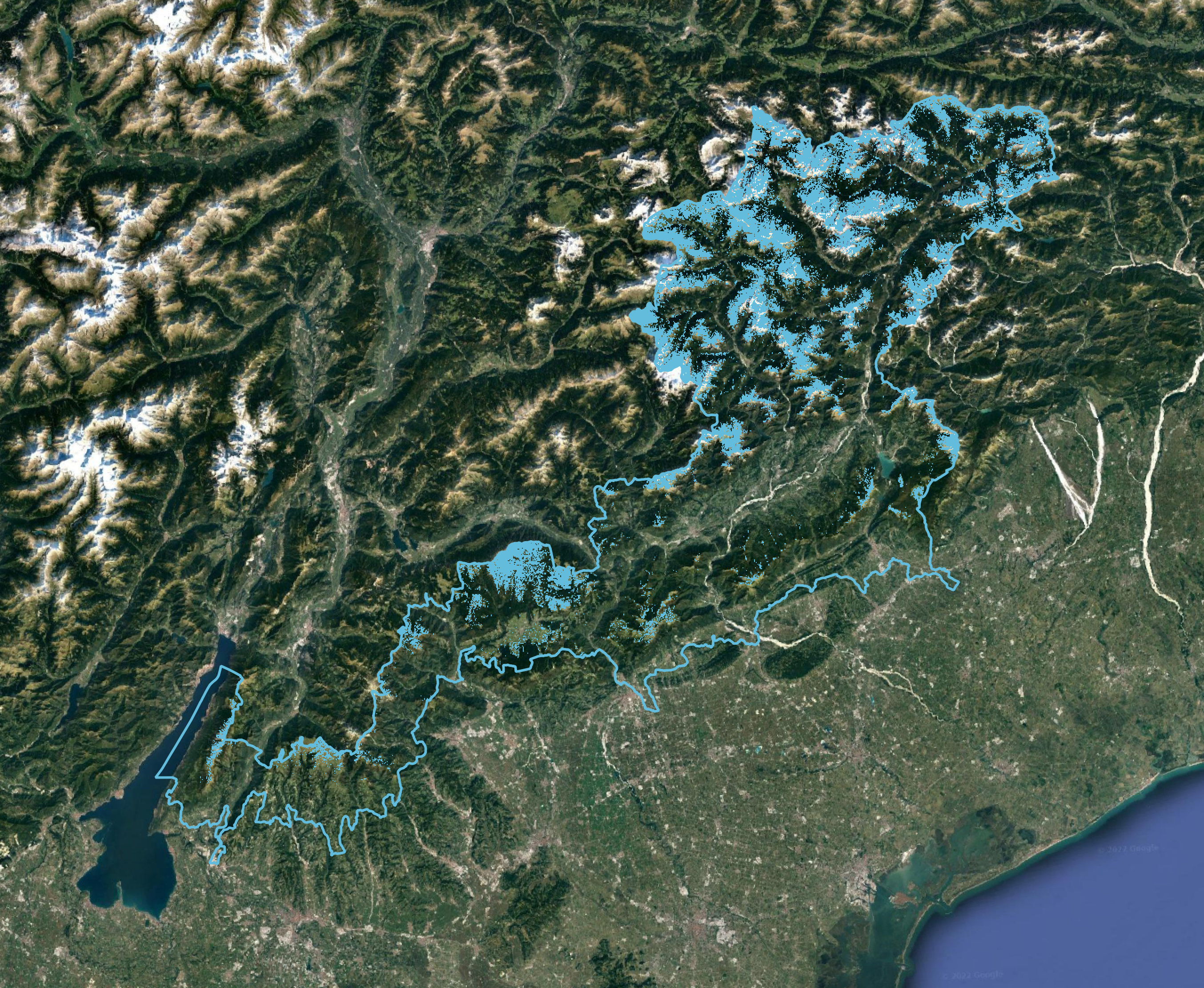
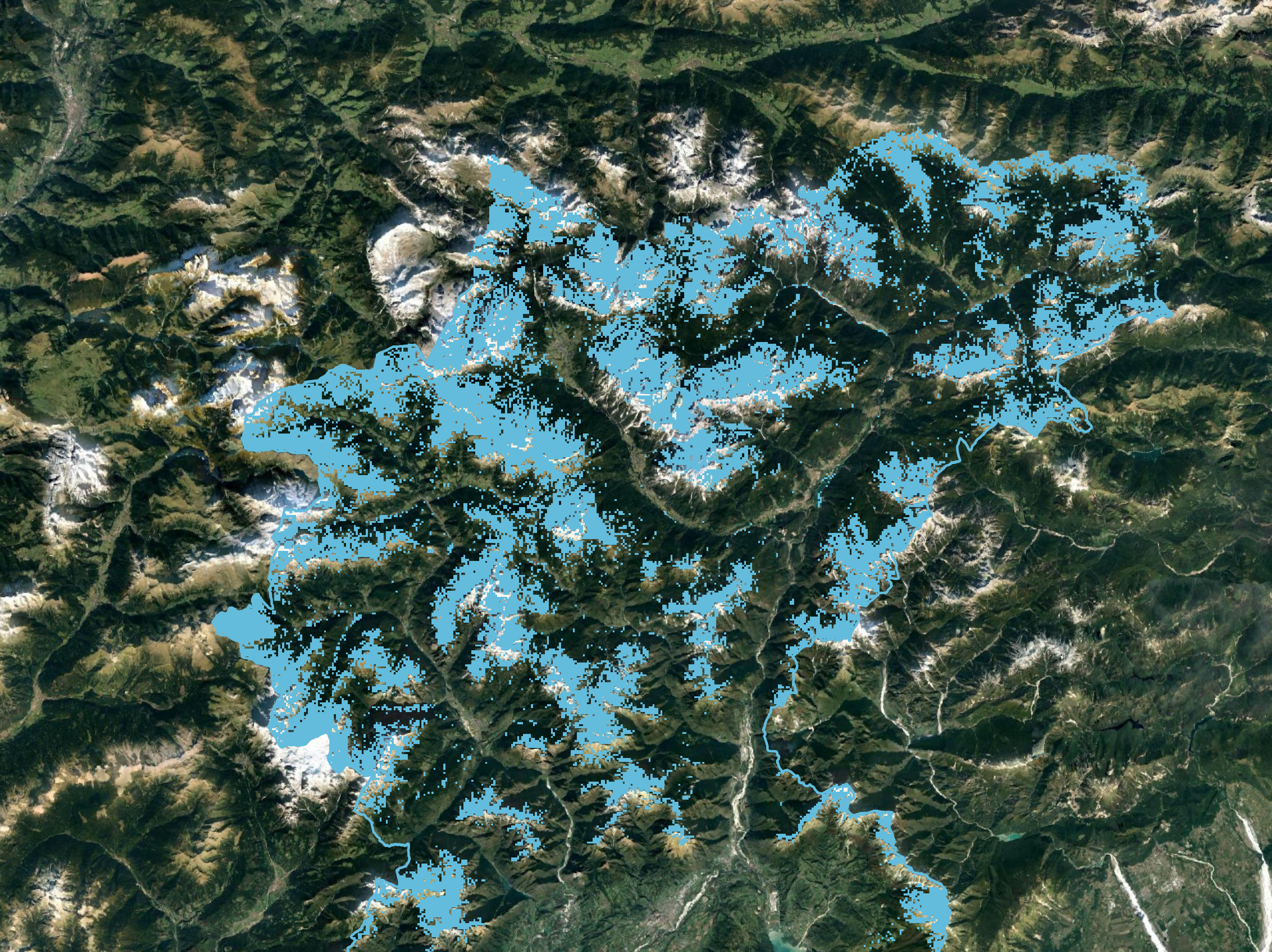
Alpsolut srl has developed several methods of processing satellite images with the aim of improving snow maps, automatically detecting avalanche events and forest areas (spatial application).