PROJECT: Development of avalanche danger mapping using a semi-automatic approach. Various risk scenarios were produced based on different avalanche return periods. The project was developed in collaboration with the SLF Institute for Snow and Avalanche Research in Davos.
CLIENT: Provincia di Trento
STAKEHOLDERS:
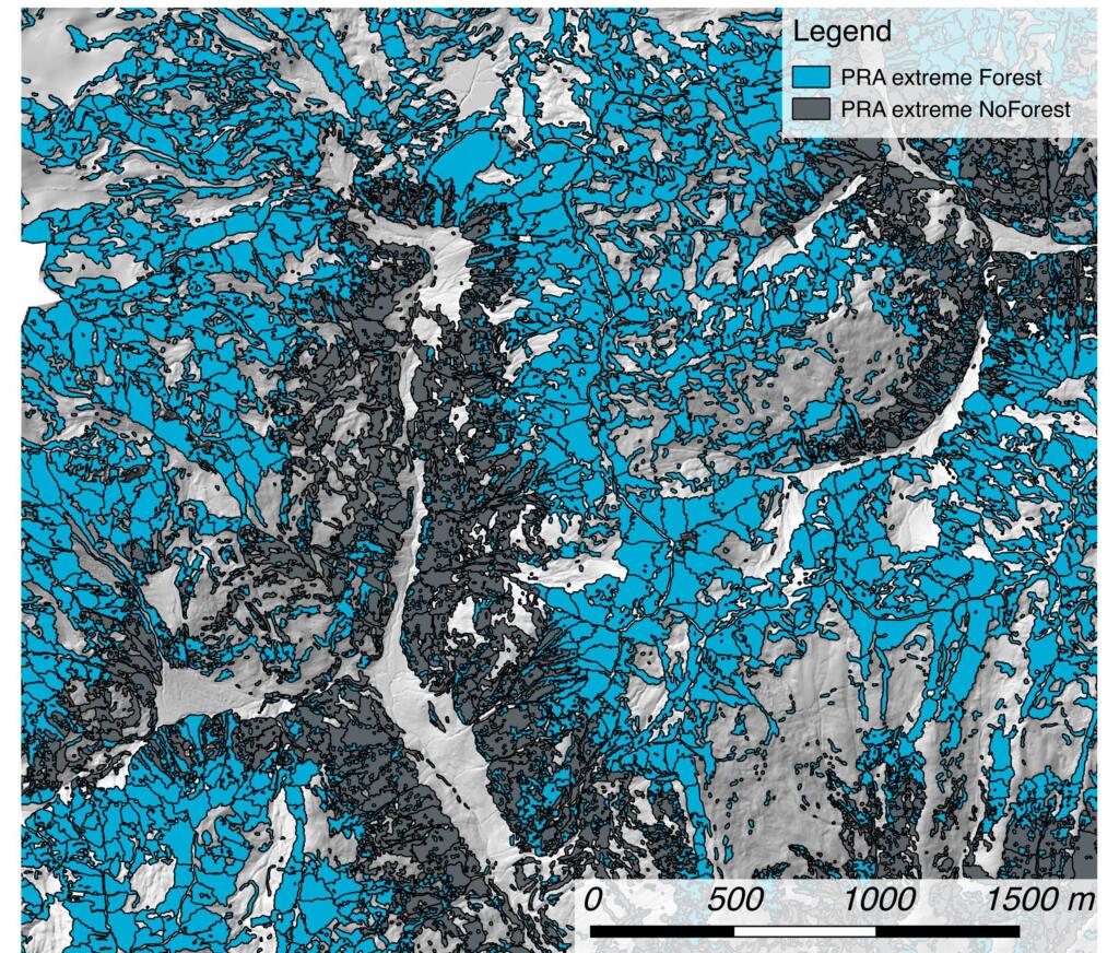
OBJECTIVE: to identify forests with an active protective function for avalanche risk mitigation.
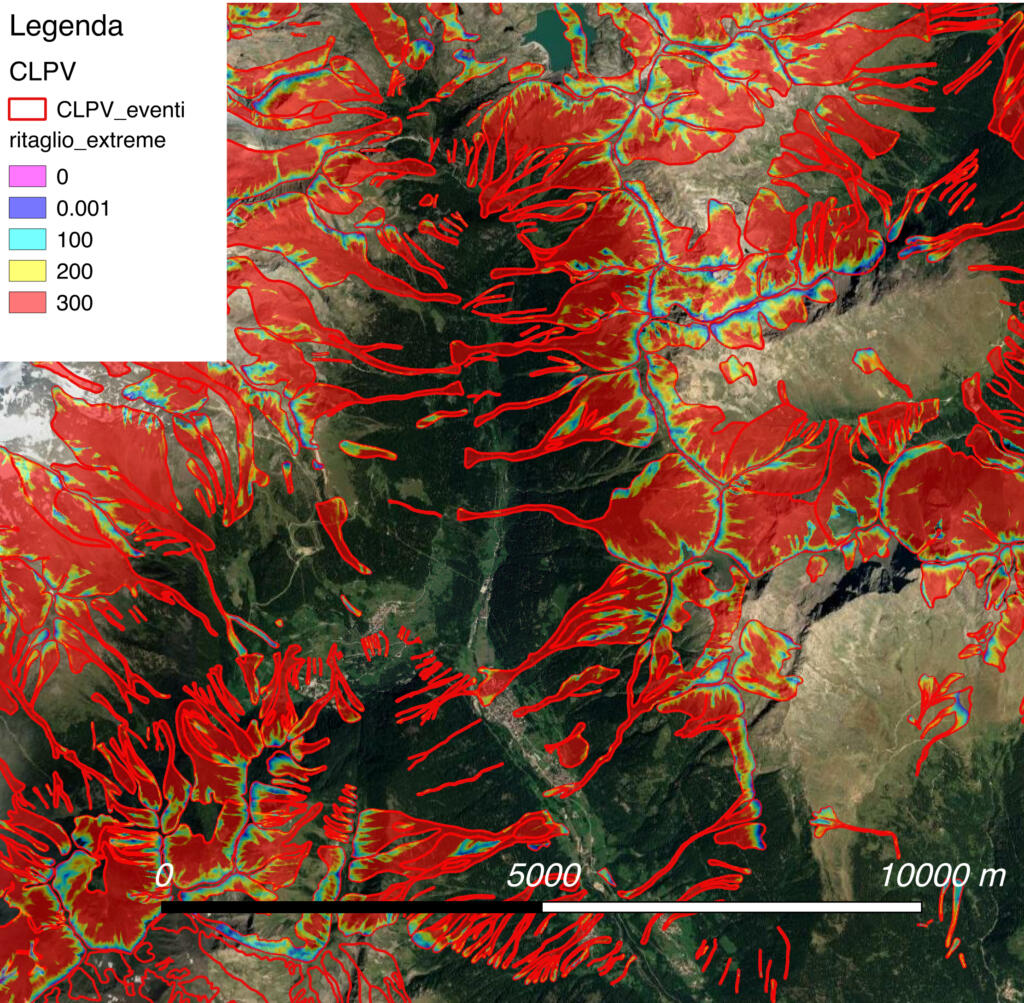
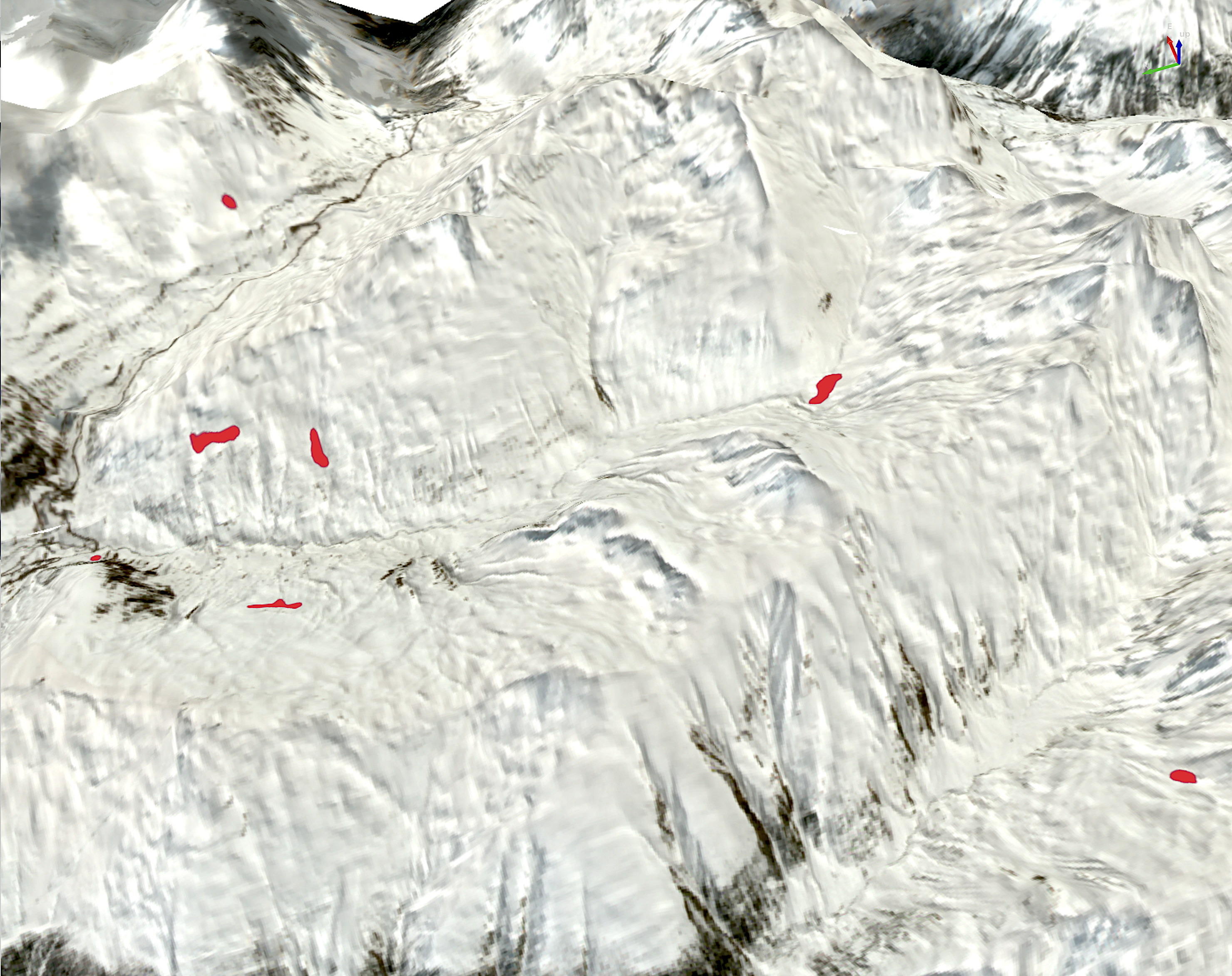
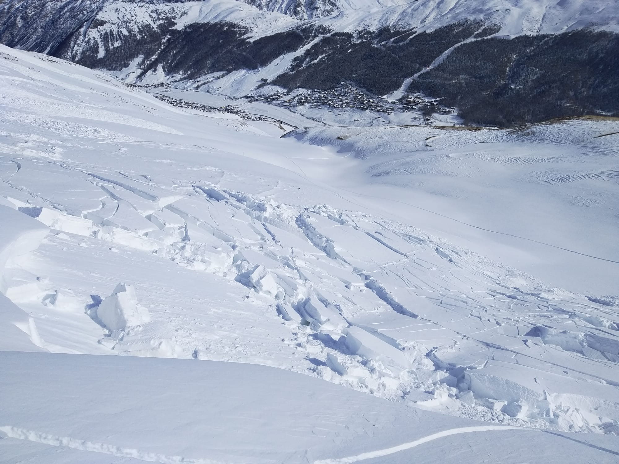
DESCRIPTION: Alpsolut was commissioned by the Forestry and Wildlife Service of the Autonomous Province of Trento to provide maps of areas potentially subject to avalanches for the determination of the protective forest for the territory of the Autonomous Province of Trento. The project consisted of creating danger indication maps based on dynamic avalanche simulations. The objective was to identify all wooded areas that play an active or passive role in avalanche risk mitigation.The whole process was extensively automated.The entire process was extensively automated allowing potential avalanche release areas (PRA) to be defined and avalanche dynamics simulations to be developed based on the digital terrain model. The only snowpack information used in the study was that necessary to calculate potential detachment thicknesses based on two different return periods: frequent avalanches (return period of 10–30 years) and extreme avalanches (return period of 100–300 years)