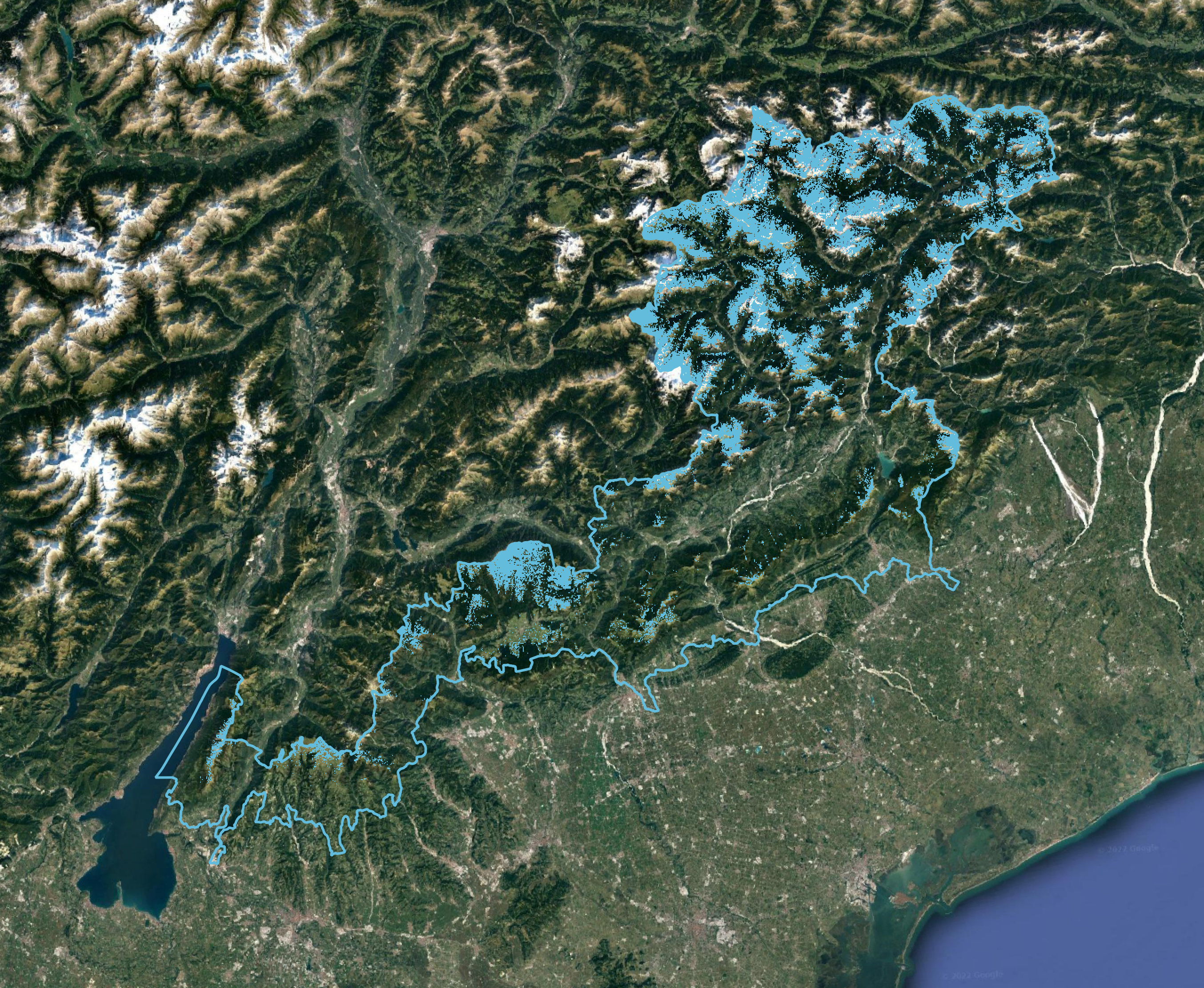
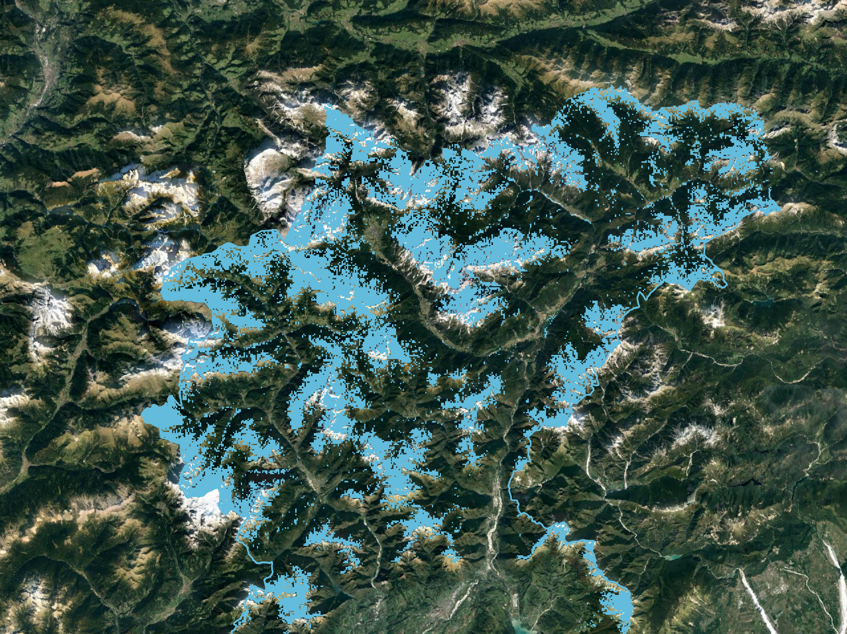
Alpsolut srl has developed several methods of processing satellite images with the aim of improving snow maps, automatically detecting avalanche events and forest areas (spatial application).


Alpsolut srl has developed several methods of processing satellite images with the aim of improving snow maps, automatically detecting avalanche events and forest areas (spatial application).


The result of collaboration between the Lombardy Region and the Canton of Grisons to jointly address, through a new governance strategy, the effects of climate
Processing of raster maps of snow depth on the ground, which allow the assessment of water availability and the calculation of the snow water equivalent
© ALPsolut. All rights reserved. | Privacy Policy | Developed by DkR
Alpsolut s.r.l. I Via Tea del Pel 1001/B, 23041 Livigno (SO) I P.IVA 00964580146