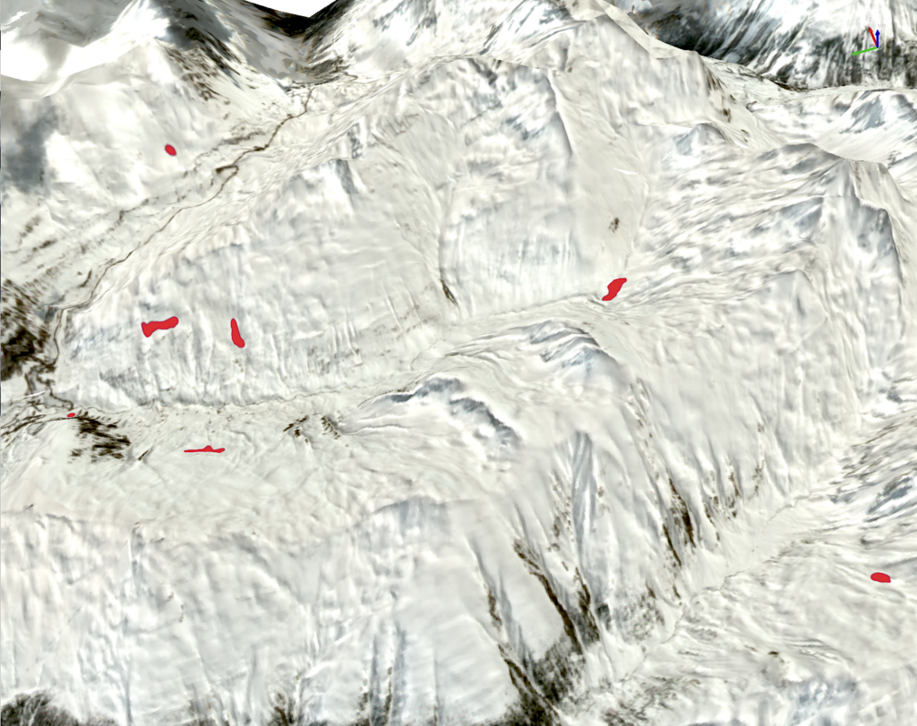
Skip to content
logo alpSolut
  • Home
  • Services
  • Projects
  • About Us
  • Contacts
  • English
  • Italiano
  • Home
  • Services
  • Projects
  • About Us
  • Contacts
  • English
  • Italiano

Tipologia: Remote sensing

Processing and use of satellite images

Immagine valanghe satellite

Automatic processing of satellite images for snow maps, avalanche sites and forest areas.

alpsolut simbolo footer

In partnership with

logo livigno footer
Facebook Linkedin

© ALPsolut. All rights reserved. | Privacy Policy | Developed by DkR 

Alpsolut s.r.l. I Via Tea del Pel 1001/B, 23041 Livigno (SO) I P.IVA 00964580146