Processing and use of satellite images

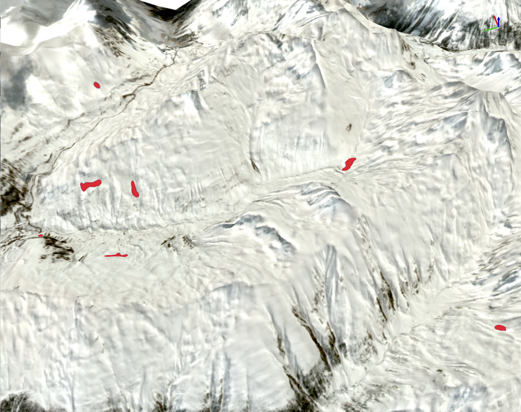
Automatic processing of satellite images for snow maps, avalanche sites and forest areas.
Livigno Freeride Project
Enhancement of the Livigno area as a Freeride skiing approch area

Automatic processing of satellite images for snow maps, avalanche sites and forest areas.
Enhancement of the Livigno area as a Freeride skiing approch area