PROJECT: Analysis using InSAR and digital image correlation techniques has been successfully applied in several projects and has provided useful support for the geological monitoring of rock glacier movements, morphological instability, pre-glacial areas, and subsidence.
CLIENT: Public and private companies interested in hydrogeological monitoring. Companies dedicated to the design and construction of infrastructure in periglacial areas or areas subject to subsidence and various geomorphological processes.
STAKEHOLDERS: Comune di Livigno, Wyssen
APPLICATIONS:
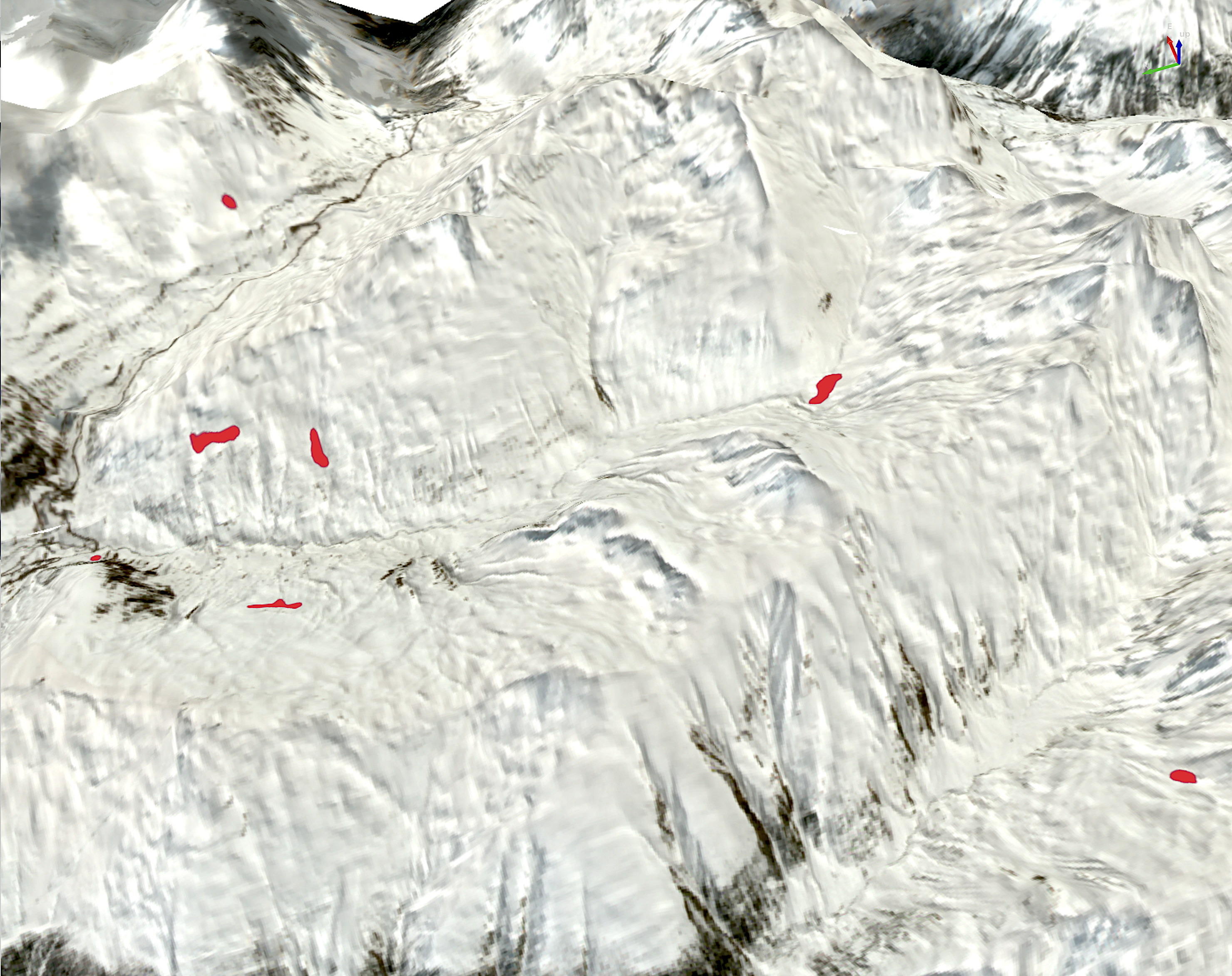
- – Monitoring of a rock glacier subject to destabilization (Livigno);
- – Reconstruction and monitoring of geomorphological instability and periglacial areas at the basin scale (Livigno);
- – Support for infrastructure design in periglacial areas or areas subject to slope movements (Switzerland);
- – Preliminary analysis of displacements and subsidence at the provincial scale.
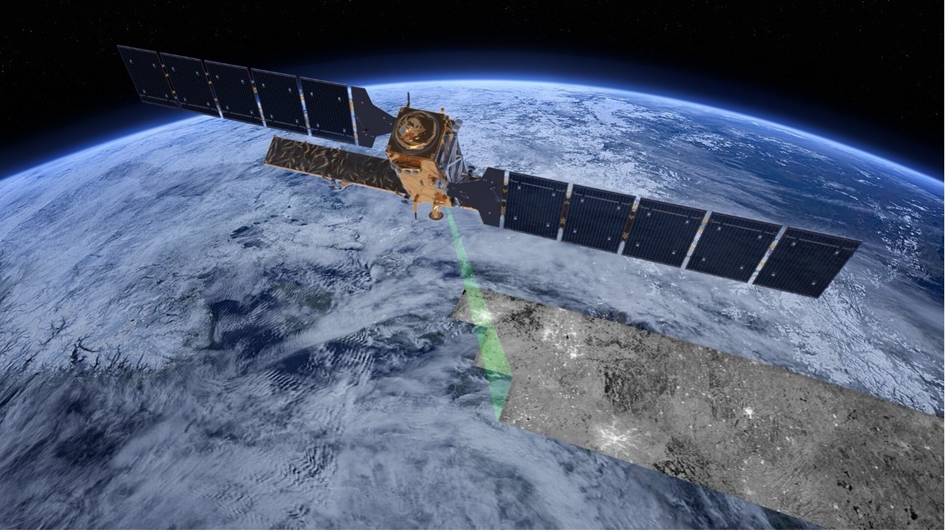
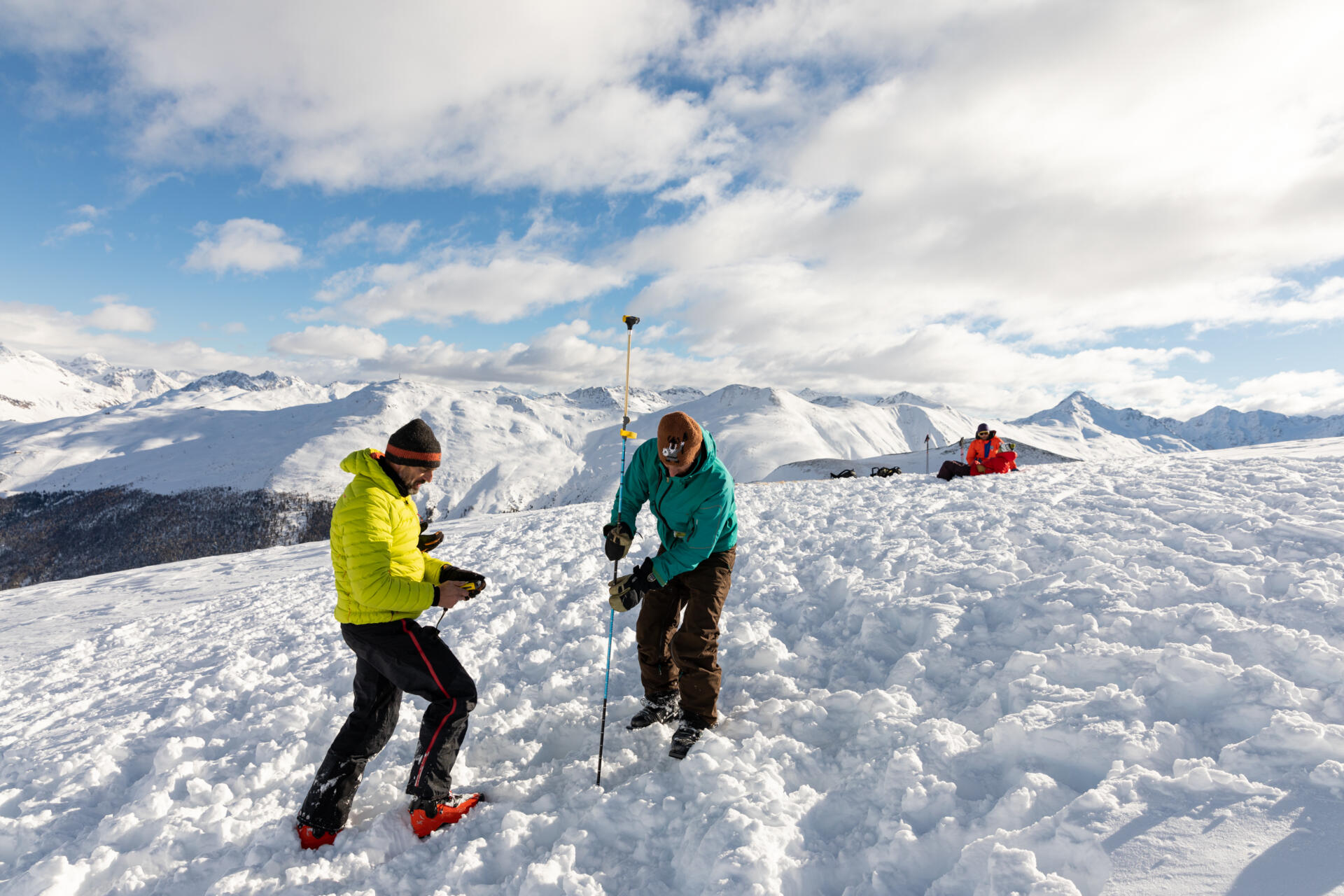
DESCRIPTION: Use of Synthetic Aperture Radar (SAR) satellite techniques with advanced interferometric techniques (SBAS-InSAR) for the monitoring and reconstruction of ground displacements with centimetric precision. Installation of corner reflectors to support monitoring in mountain environments. Analysis of general displacements at different scales using Digital Image Correlation applied to satellite and drone-based optical products.
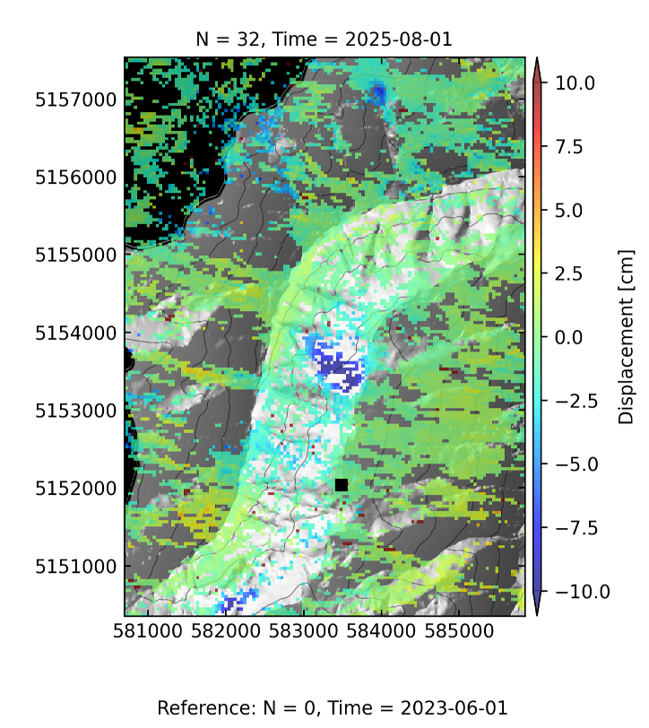
Analysis of ground movements in alpine terrain using InSAR SBAS technology